Early Access
Yama Maps
山
Backcountry maps built for mountain communities


Why Yama Maps
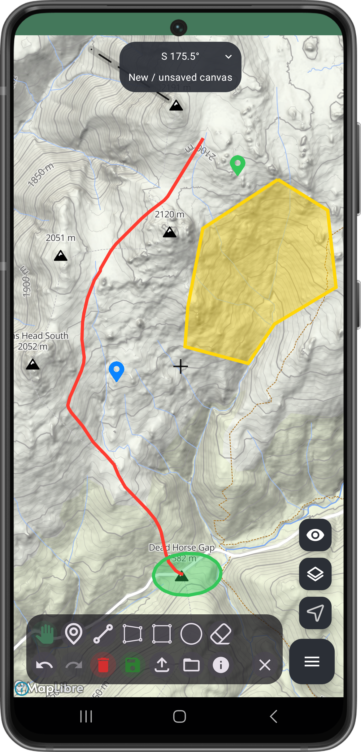
Custom Curated Regional Maps
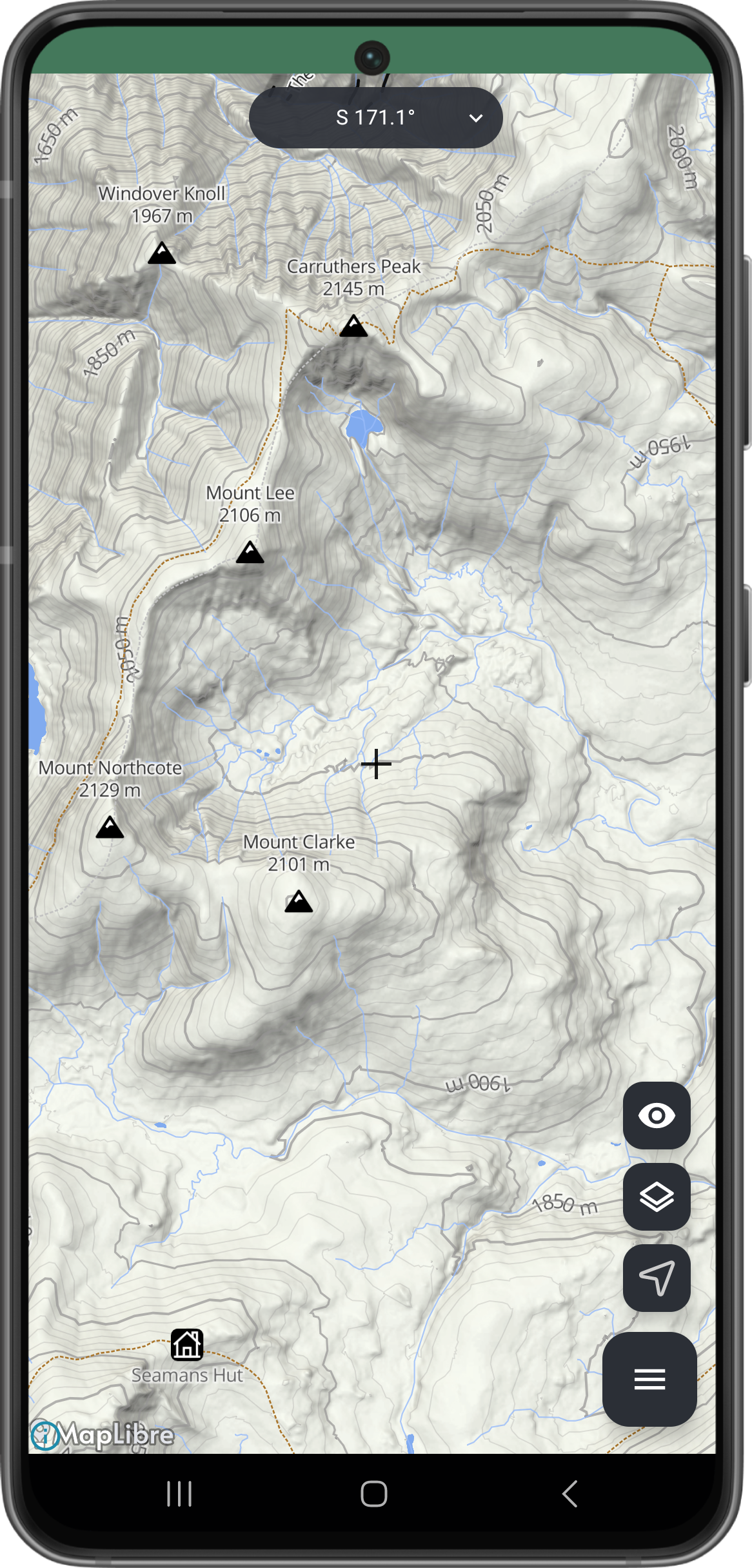
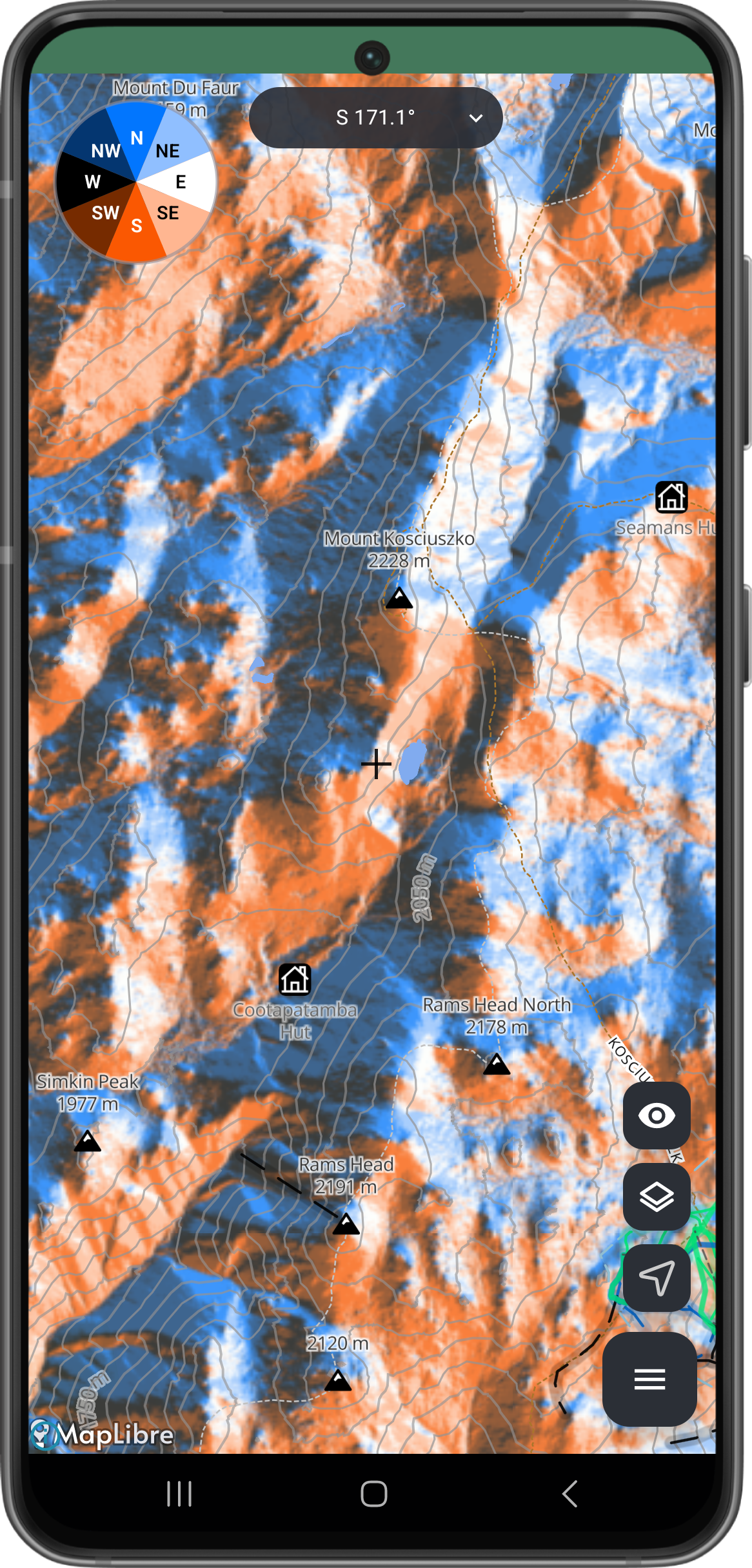
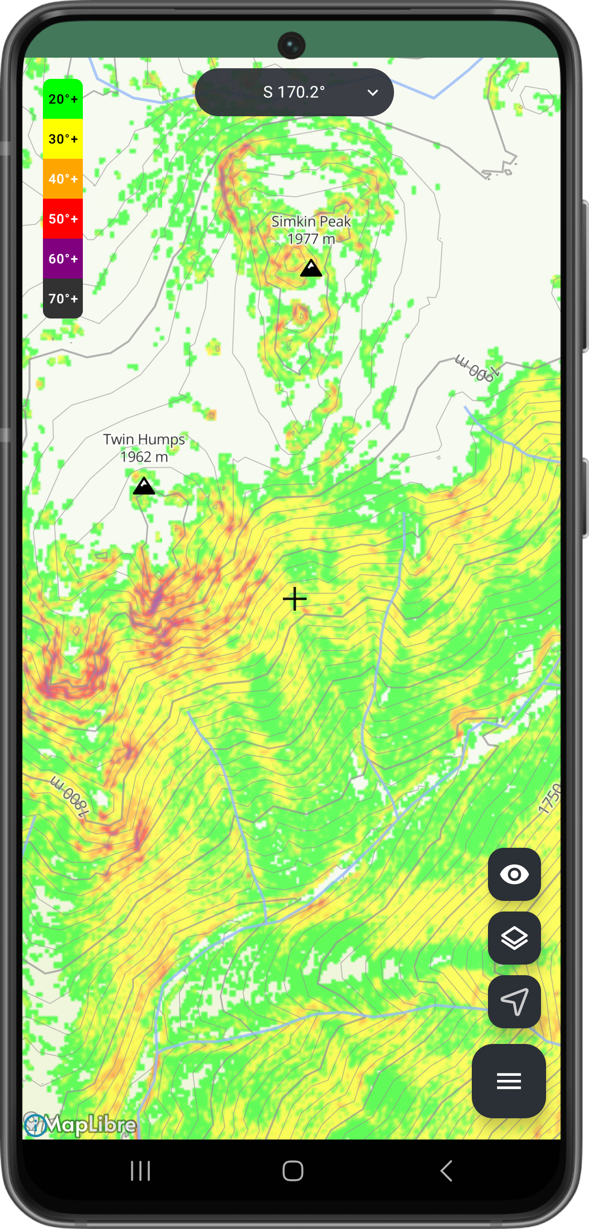
Most map apps rely on third-party services to provide the maps. Not Yama Maps! We’re building unique maps for each region.
Plan in more detail together
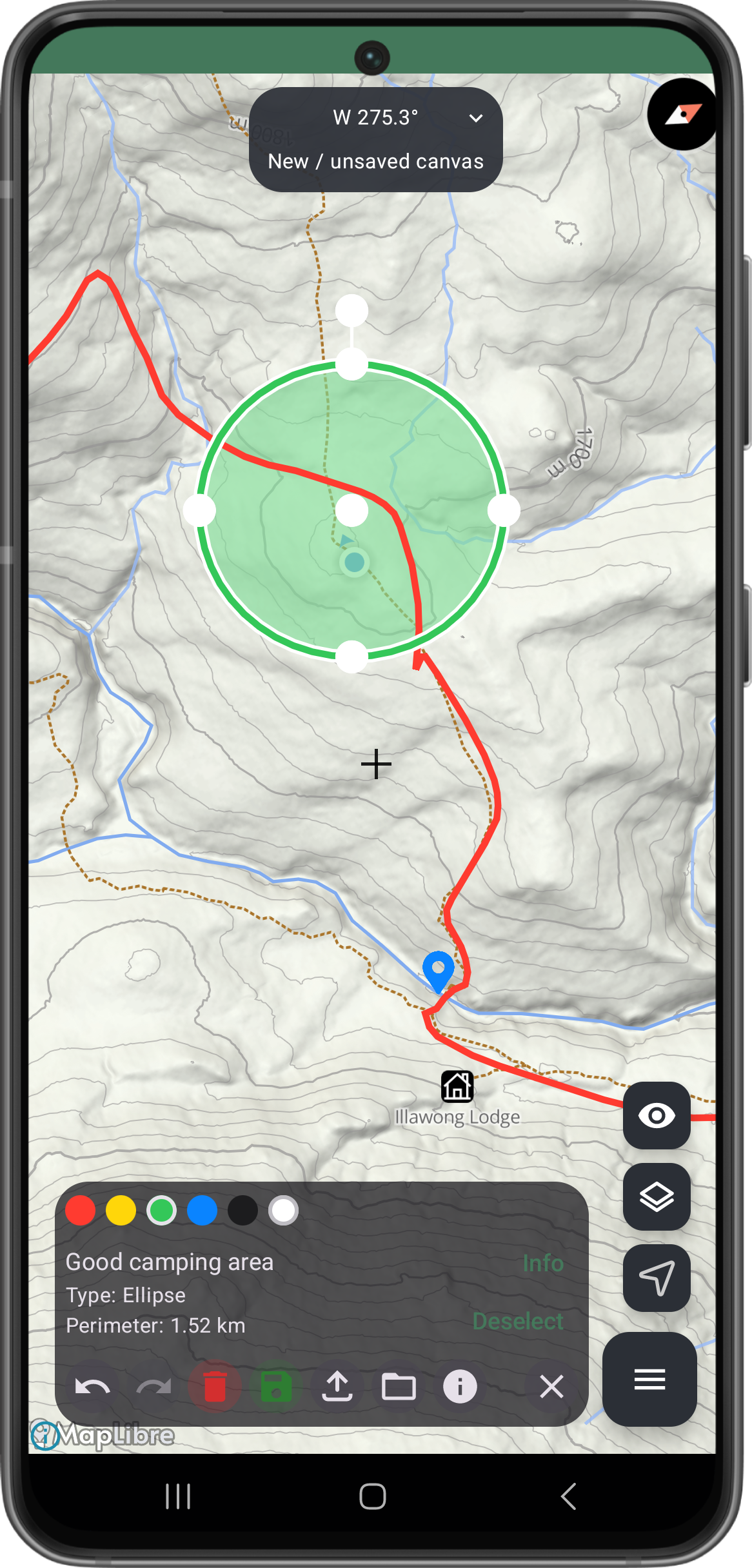
Planning trips should not need screenshots, markup apps or chat workarounds. Yama Maps aims to make discussion and sharing part of the map itself.
Community Data
Yama Maps’ primary goal is community data.
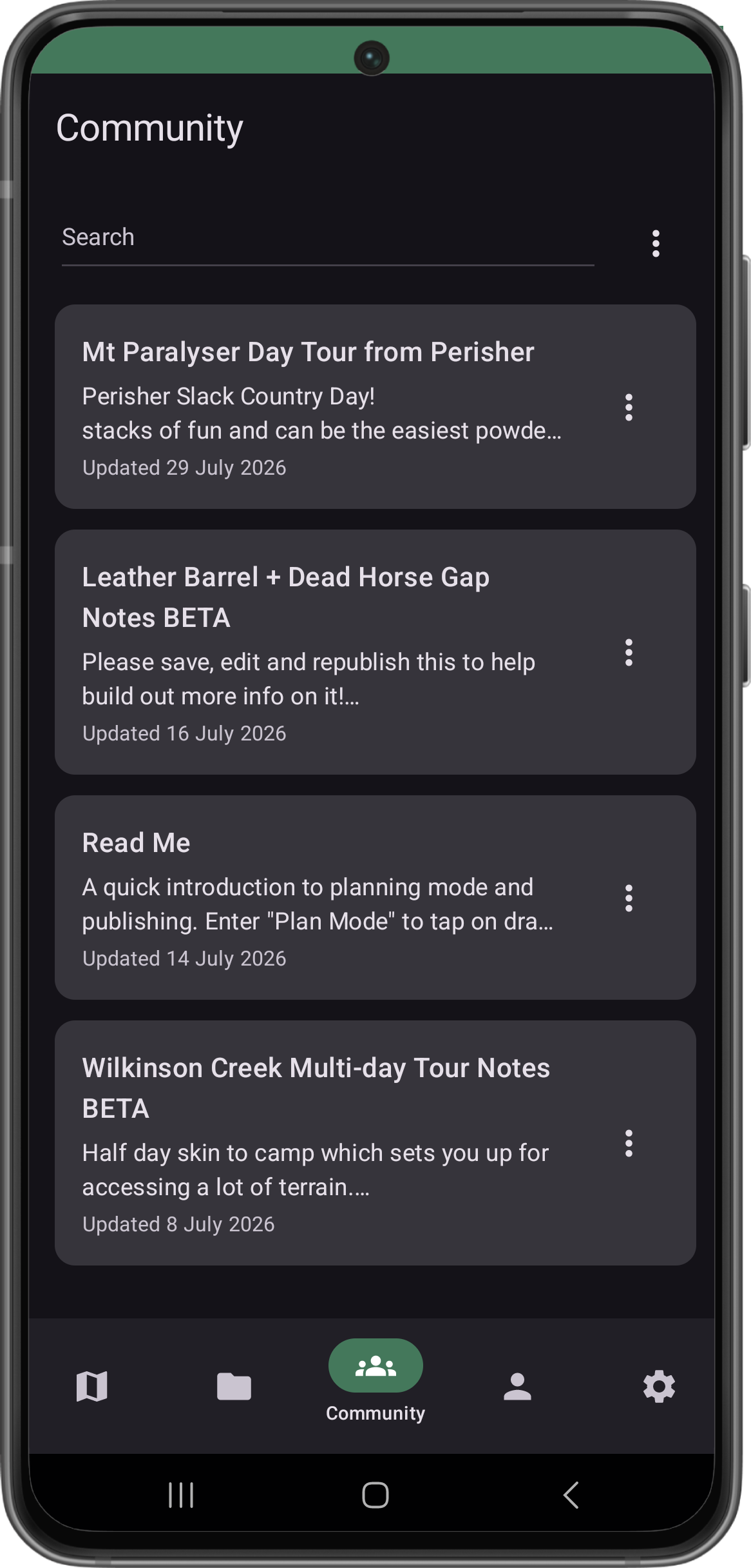
Create and share your own guides with just your friends or better yet, the whole community!
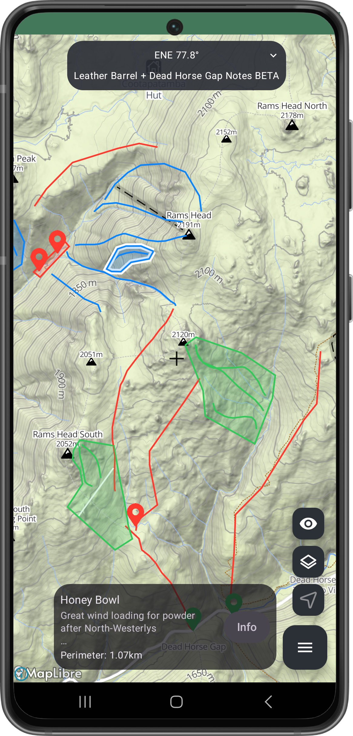
When I first started ski touring, it was hard to find information on how to access the backcountry.
I wished there was a place where people could share all their backcountry touring info as a community in an accessible format.
I also wanted to see a mapping app that had higher quality data for Australia, and better planning and sharing tools.
Enter Yama Maps!
(YetAnotherMapApp (but also Japanese for Mountain)).
Yama Maps isn’t just another MapBox app with a different skin…
Roadmap
A simple snapshot of what is planned, currently in motion, and freshly out the door.
Done
Initial Release | Android
Android release complete. Available now on Google Play.
Done
Initial Release | iOS
iOS release complete. Available now on Apple App Store.
Done
Community Guides and Plans
Creates plans and guides and make them available to your community.
Help others access the backcountry and share your knowledge.
In Progress
Sync your data
Sync your data to your account so you don’t lose it.
Makes it available across all your devices.
In Progress
Plan Sharing and Profiles
Create a profile and share your plans with friends
Share via direct access or via links. Grant viewer, editor and manager permissions.
TODO
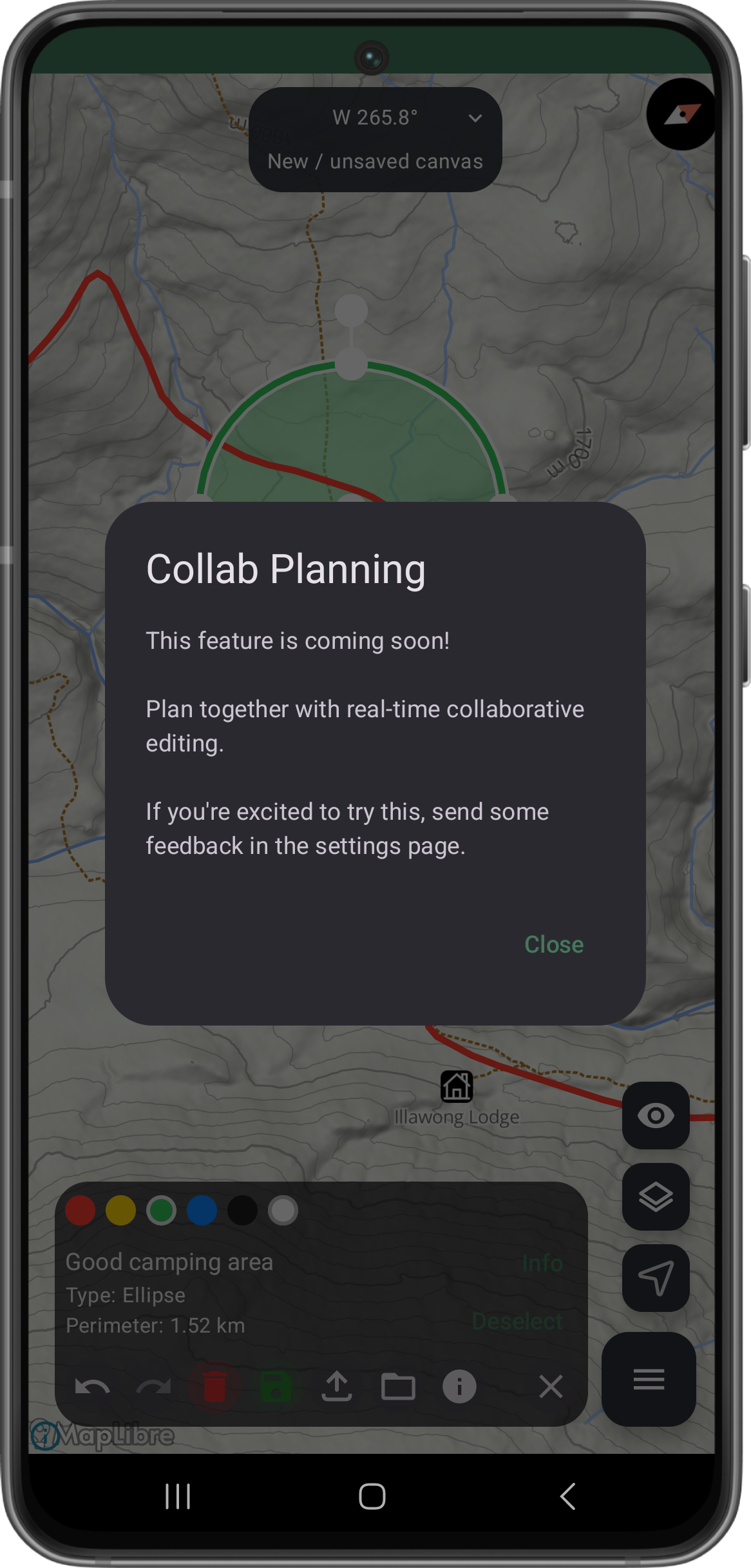
Collab Planning
Real-time collaborative plan editing and sharing.
Share your map plans with friends and work on them together, just like a Google Doc!
TODO
Custom Map Provider
Add the ability to load your own maps from other providers.
Or use your own tile provider API key.
TODO
Web App
See it on the big screen!
Same app but just on the browser.
TODO
3D Maps
Support 3D maps in open source software.
Yama Maps was built with the open source software called MapLibre instead of the common proprietary software from MapBox. MapLibre Native for mobile doesn’t have 3D terrain implemented yet. I have some workarounds in mind for now and may also try and contribute the implementation for MapLibre.
TODO
Garmin Connect Integration
Bring in your Garmin activities or export plans to your Garmin device.
TODO
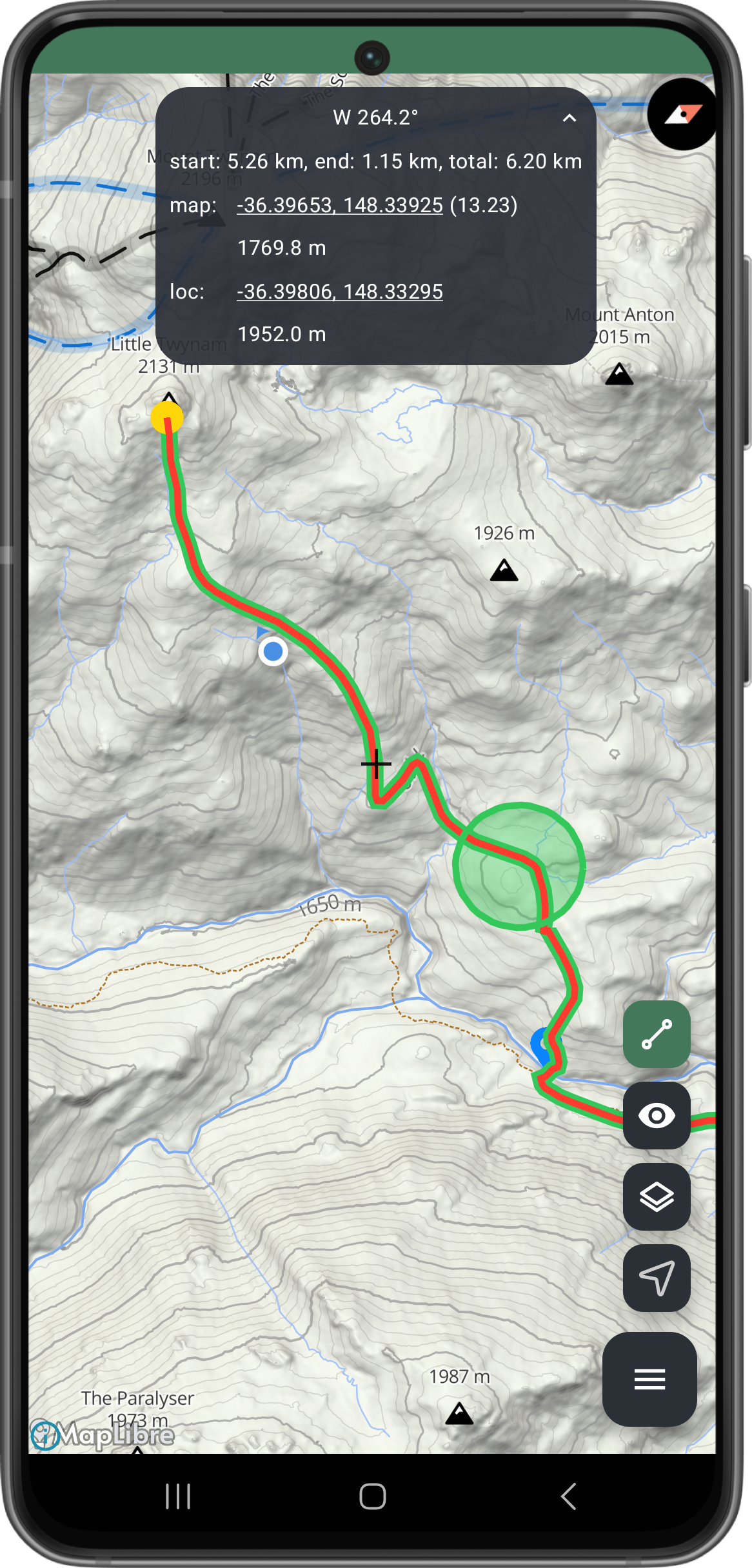
More Activity Stats
Show more activity stats and overlays. Speed, elevation, etc.
Line styling to indicate your stats along the route as well as graph overlays to compare data. I.e. show speed against elevation in the same graph.
About The Developer
I’m a solo developer and avid Aussie Main Range skier! I wanted to create a platform with the data and planning tools I wished were out there already: better map quality, more granular elevation data, and hyper functional individual and collaborative route planning tools.
I want to hear as much direct feedback as possible, so send your thoughts to support@yamamaps.com - note: this goes to my personal email. Criticism, new ideas, feature requests, bugs - it’s all welcome! Let’s build the best mountain map app together.
Want to see a new area added to the collection? Just send me an email as well.
If you enjoy the app and want to support it and see it grow, you can do so here: